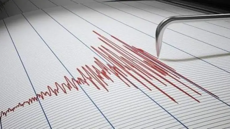
An earthquake with a magnitude of 3.0 on the Richter scale struck Médéa Province (ولاية المدية) on Wednesday, according to an announcement from the Center for Research in Astronomy, Astrophysics and Geophysics. The tremor was registered on May 27 at 11:44 AM. The Center for Research in Astronomy, Astrophysics and Geophysics confirmed the 3.0 magnitude event, providing immediate details on the seismic activity. This initial report from the scientific institution quickly disseminated key information regarding the natural phenomenon experienced in the region. The relatively low magnitude of 3.0 on the Richter scale is often felt by people but rarely causes significant damage, a detail that was confirmed by subsequent assessments. The event shows the ongoing seismic activity characteristic of the area.
No Damages Reported
No material damage or human casualties were recorded following the 3.0 magnitude earthquake in Médéa Province, according to an initial assessment by the civil protection services. This swift evaluation provided reassurance to the local population. The local authorities, including emergency response teams, carried out immediate inspections across the affected areas to ascertain the impact of the tremor. These inspections were a critical step in ensuring public safety and confirming the stability of local infrastructure. Inspections were particularly focused on infrastructure and residential buildings in the vicinity of the earthquake's epicenter. The findings confirmed the absence of any reported structural damage or injuries to residents, a positive outcome given the sudden nature of seismic events. The rapid assessment allowed for a swift confirmation that the event did not result in wider consequences for the community or its assets, ensuring that daily life could quickly return to normal without major disruptions.
Official Announcement Details
The Center for Research in Astronomy, Astrophysics and Geophysics, also known as CRAAG, officially announced the seismic event. Its communication detailed the earthquake's magnitude and precise timing, providing essential information to the public and relevant authorities. The 3.0 magnitude tremor occurred at 11:44 AM local time, a detail that helps in understanding the exact moment the seismic waves impacted the area. CRAAG is the primary scientific institution responsible for monitoring seismic activity within Algeria, providing official data and analysis on such occurrences. Their immediate report served to inform both the public and relevant authorities about the geological event in Médéa Province, noting the institution's vital role in national seismic monitoring. This information was subsequently disseminated by news outlets such as الشروق أونلاين, ensuring broad public awareness and preventing the spread of misinformation. The center's role includes the rapid assessment and release of data regarding seismic events, which is key for emergency response coordination and public safety advisories across regions like Médéa Province and specifically the area around ميهوب, where the epicenter was located.
Geophysical Context
The earthquake's epicenter was precisely located 11 kilometers (6.8 miles) east of Mehoub, a commune within the wilaya of Médéa. This specific geographical pinpointing allows seismologists to understand the local geological stresses that led to the tremor, offering valuable insights into regional fault lines. Médéa Province, situated in northern Algeria, is known for its seismic activity, attributed to its position within the complex tectonic plate boundary between the African and Eurasian plates. This geological setting explains the frequent occurrence of tremors in the area. The region experiences frequent, typically low-magnitude, seismic events due to the ongoing convergence and associated faulting, making such occurrences a regular feature of its geophysical landscape. The exact coordinates of the epicenter provide critical data for researchers at institutions like the Center for Research in Astronomy, Astrophysics and Geophysics, which monitors these geological occurrences regularly. Understanding the precise location of such events helps in mapping active fault lines and assessing potential seismic hazards in the wider area surrounding Mehoub, contributing to long-term seismic risk management strategies for the province.