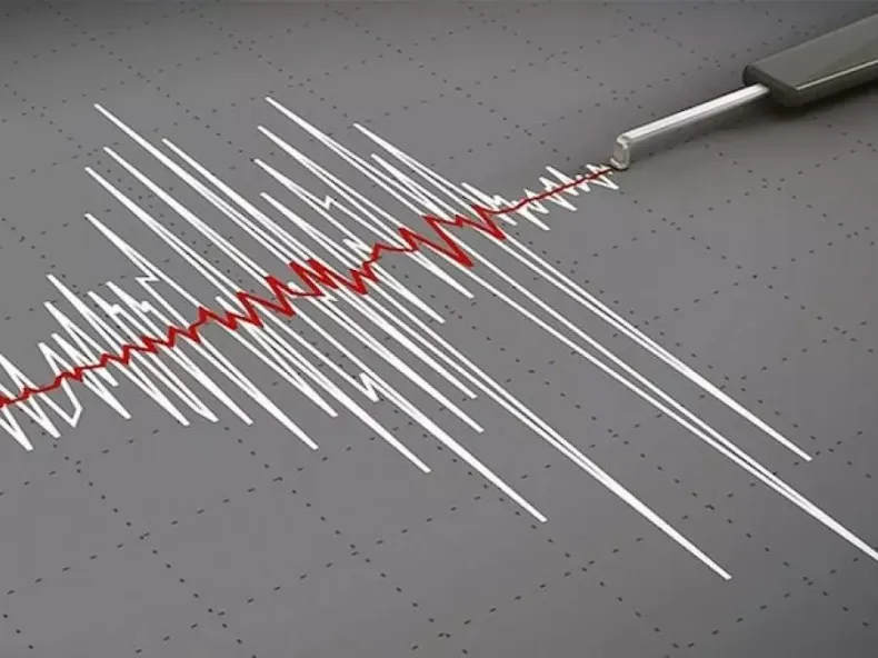
A seismic tremor measuring 3.8 degrees on the open Richter scale was recorded on Wednesday at 10:44 AM in the wilaya of Batna. The event marks a notable geological occurrence in the region, drawing attention to the area's ongoing seismic activity. This specific tremor, occurring in the morning hours, was precisely documented and subsequently reported by the national authority responsible for such phenomena. The recording of this magnitude provides important data for understanding the local seismic patterns and contributes to the broader geological mapping of Algérie.
Event Details
The epicenter of the seismic tremor was situated 6 kilometers southwest of Ain Djasser, a locality within the same wilaya of Batna. This geographical positioning specifies the tremor's point of origin relative to established landmarks, as noted by the Centre de recherche en astronomie astrophysique et géophysique (CRAAG). The CRAAG is the official body responsible for monitoring and reporting such geological activities across Algérie. Its data provides the precise coordinates for seismic events, contributing to a clearer understanding of tectonic movements in the region. The location near Ain Djasser provides critical information for local authorities and residents regarding the immediate vicinity of the seismic activity. Understanding the exact epicenter is vital for assessing potential localized impacts and for directing any necessary response efforts. Further analysis by the CRAAG will likely focus on the depth of the tremor and any potential aftershocks, which can offer additional insights into the area's geological stability. This precise location information is key for assessing potential impacts and for ongoing seismic monitoring efforts in the wilaya, ensuring that full data is gathered for future reference and study.
Source of Information
The Centre de recherche en astronomie astrophysique et géophysique (CRAAG) provided the information regarding the seismic event. The CRAAG, a national scientific institution, is responsible for monitoring and analyzing astronomical, astrophysical, and geophysical phenomena across Algérie. Its statements serve as official reports on seismic activity, offering precise details on tremors and their characteristics, including magnitude, time, and epicenter location. The institution's communication ensures that data on geological occurrences, such as the Batna tremor, is disseminated accurately to the public and relevant authorities. This official reporting mechanism is key for maintaining transparency and providing reliable information in the aftermath of seismic events. The CRAAG's work is fundamental for understanding regional seismicity and for informing preparedness efforts, contributing significantly to public safety and scientific research within the country. The timely release of such data by the CRAAG allows for immediate assessment and public awareness regarding geological events.
Geophysical Context
The wilaya of Batna, located in Algérie, experiences seismic activity due to its geological position within a tectonically active region. The Centre de recherche en astronomie astrophysique et géophysique (CRAAG) routinely monitors such occurrences across the country, providing official data on tremors. This recent event, centered near Ain Djasser, falls within the expected patterns of seismic movements observed in the area, which are characteristic of the broader geological dynamics of Algérie. Geophysical studies by institutions like the CRAAG are essential for understanding the underlying tectonic plates and fault lines that contribute to these tremors, offering key insights into the mechanisms driving such events. The region's geological structure often results in shallow-focus earthquakes, which can be more widely felt despite moderate magnitudes, potentially causing greater local impact. Ongoing research by Algérie's scientific bodies continues to refine the understanding of these seismic dynamics, contributing to hazard assessments and building codes designed to enhance resilience against future seismic events. The CRAAG's sustained monitoring efforts are critical for cataloging seismic events and informing the public about potential geological risks in areas such as the wilaya of Batna, thereby playing a key role in national disaster preparedness and scientific advancement.